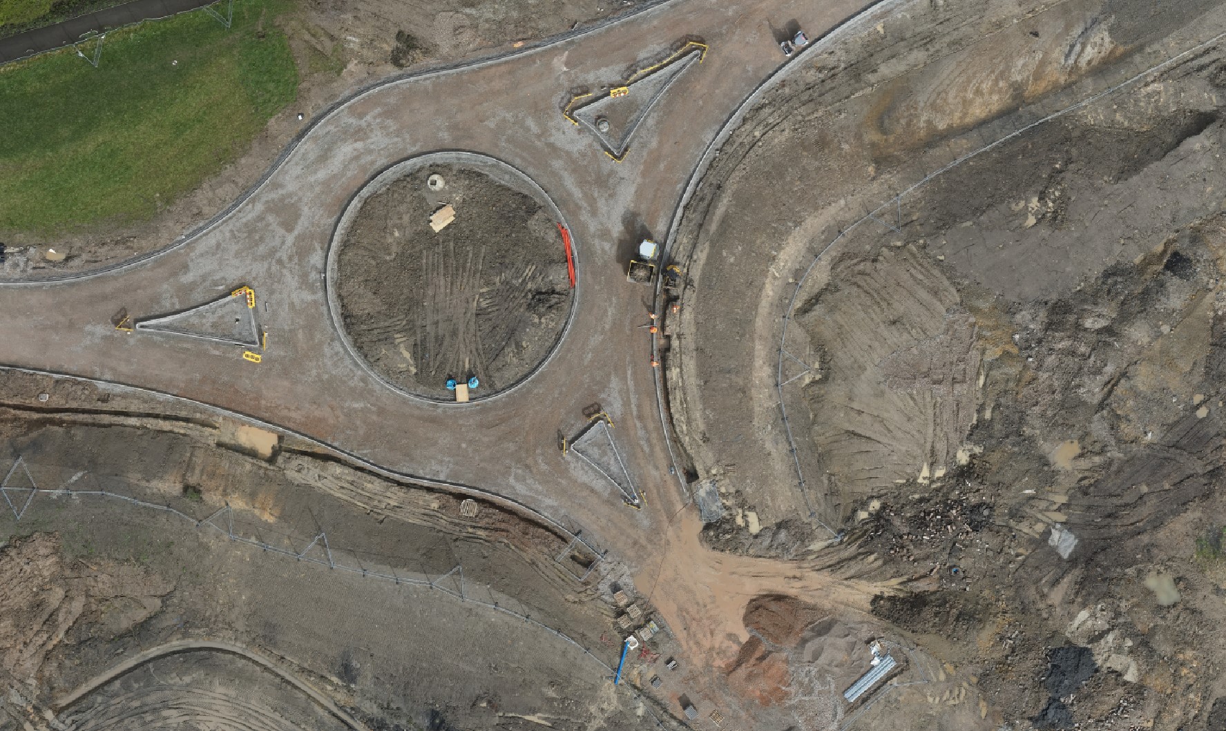
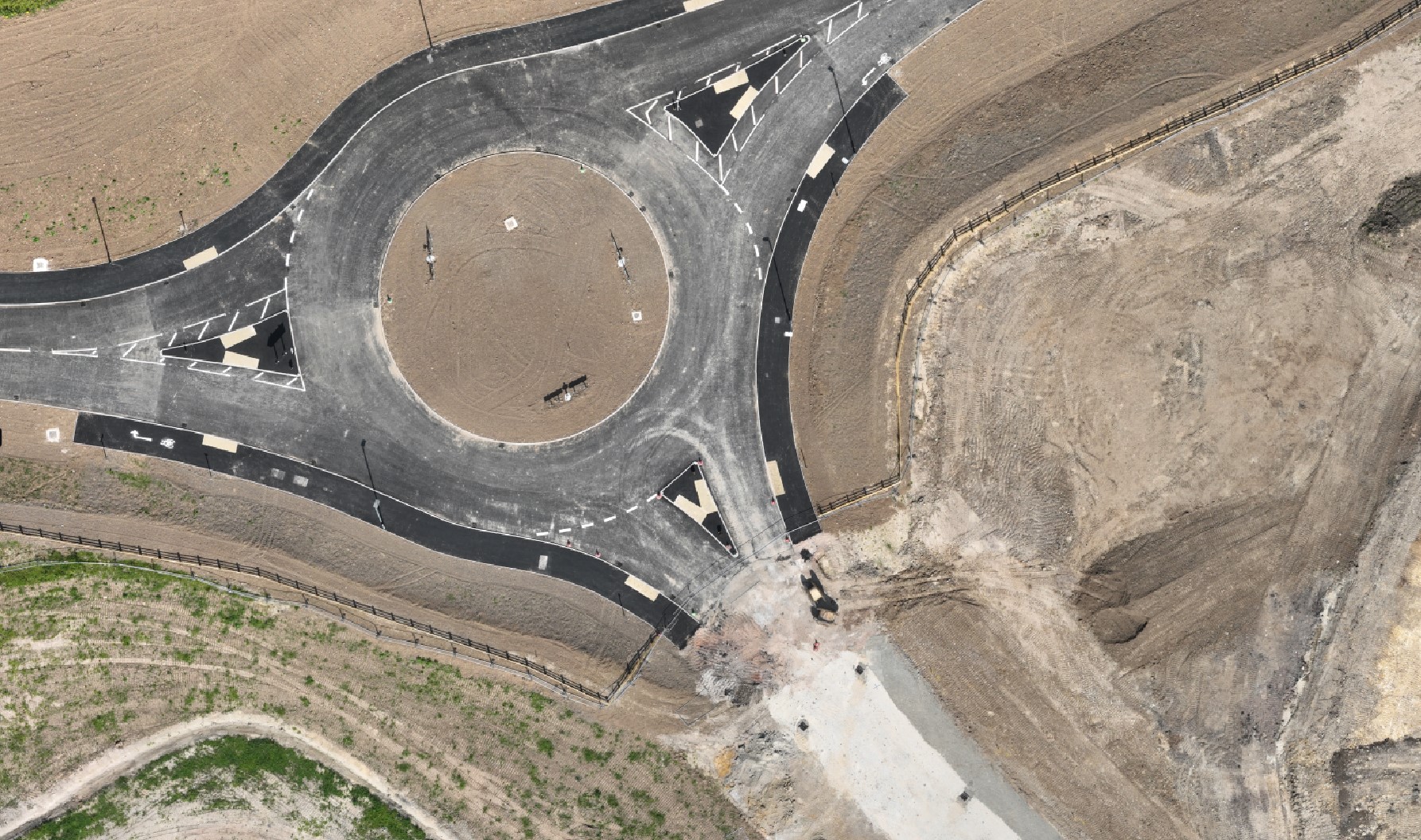
At Surveyed by Drone, we specialize in high-resolution aerial orthomosaic photography, providing breathtaking views and detailed progress tracking for your projects. Using state-of-the-art drones, we capture multiple images from the air and stitch them together, allowing you to visualize changes and growth from a unique aerial perspective.
Our drones take multiple ultra-clear high-resolution photographs along a predefined route.
We then stitch all these photos together to provide one large detailed plan view.
We can then send you the orthomosaic or host it here for you.
Ideal for construction sites, real estate, tourism, and environmental monitoring.
Ensuring accurate progress tracking.
High-resolution imagery for superior detail.
Tailored to fit your project needs.
See your project from a whole new perspective.
Contact us today to discuss your aerial panorama needs.
An orthomosaic is a high-resolution, geometrically corrected image map created by stitching together numerous overlapping aerial or drone photos. We use this process to ensure that all the images are aligned accurately and distortion is corrected, resulting in a seamless, detailed, and georeferenced view of your site.